Geospatial
Learn Geospatial skills from top instructors

José Rafael Santos
2 courses

ArcGis: nível intermediário
269
students
2.5 hours
content
Sep 2020
updated
$19.99

Matt .
2 courses

Complete Remote Sensing Image Analysis with ENVI Software
2.2K
students
7 hours
content
Nov 2020
updated
$49.99

EBISYS R&D
17 courses

Building Big Data Pipelines with R & Sparklyr & Power BI
97
students
2.5 hours
content
Apr 2020
updated
$29.99

Lakhwinder Singh
8 courses

Complete Remote Sensing and GIS - ArcGIS - Erdas
1.8K
students
11 hours
content
Apr 2024
updated
$64.99

EBISYS R&D
17 courses

Big Data Analytics with PySpark + Power BI + MongoDB
138
students
4 hours
content
Feb 2020
updated
$54.99

EBISYS R&D
17 courses

Big Data Analytics with PySpark + Tableau Desktop + MongoDB
179
students
4.5 hours
content
Feb 2020
updated
$54.99

EBISYS R&D
17 courses

Building Big Data Pipelines with PySpark + MongoDB + Bokeh
2.4K
students
5 hours
content
Feb 2020
updated
$49.99

Dr. Alemayehu Mide
24 courses

Big Geospatial Data Analysis with Google Earth Engine
1K
students
3.5 hours
content
Apr 2024
updated
$64.99

EBISYS R&D
17 courses

Spatial Data Visualization and Machine Learning in Python
134
students
4.5 hours
content
Jun 2020
updated
$49.99

Pedro Planas
410 courses

Geospatial Data Videocourse: Learn The Basics
0
students
1 hour
content
Jan 2020
updated
$19.99

Hebert Azevedo
2 courses

Customização de formulário - QGIS
94
students
2.5 hours
content
May 2022
updated
$19.99

Golgi Alvarez
25 courses

ArcGIS Pro - Curso de cero hasta avanzado y ArcPy - AulaGEO
534
students
7 hours
content
Aug 2024
updated
$34.99

Jean-Sébastien Bou
2 courses
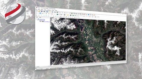
Geospatial Image Visualization with PCI Geomatics
5.4K
students
43 mins
content
Sep 2022
updated
FREE

Robin Alexis Olaya
1 course
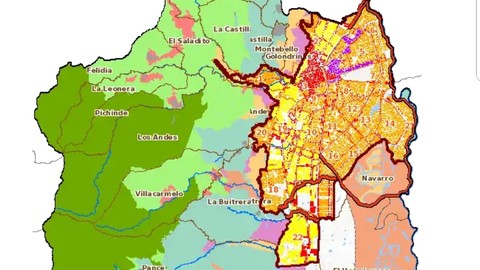
Aprende a manejar el Geovisor de la IDESC
2.2K
students
42 mins
content
Jun 2019
updated
FREE

Hebert Azevedo
2 courses

Dicas e Tutorias em Geoprocessamento
5.2K
students
32 mins
content
Dec 2018
updated
FREE

Jean-Sébastien Bou
2 courses
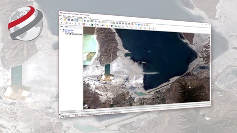
Basic Raster and Vector Operations with PCI Geomatics
4.3K
students
1 hour
content
Sep 2017
updated
FREE

AulaGEO Academy
140 courses
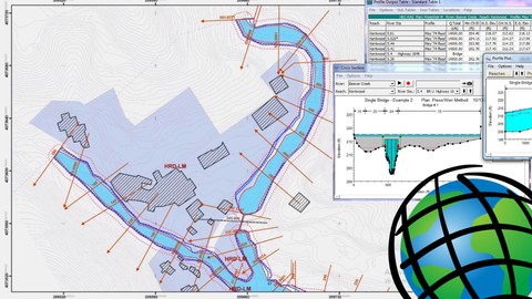
Hec-RAS and ArcGIS for Hydrologic Engineering -AulaGEO
1.2K
students
2 hours
content
Apr 2025
updated
$49.99

Lakhwinder Singh
8 courses

Crop Yield Estimation using Remote Sensing and GIS ArcGIS
567
students
2.5 hours
content
Apr 2024
updated
$49.99

Kevin JONES
3 courses

Historical Airphoto Processing (HAP) with PCI Geomatics
3.8K
students
1.5 hours
content
Oct 2016
updated
FREE

Brandon Price
4 courses

Become an expert with ESRI's GIS software: ArcGIS Desktop
617
students
8.5 hours
content
Oct 2018
updated
$39.99