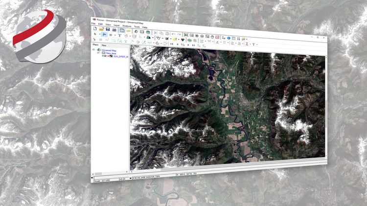
Geospatial Image Visualization with PCI Geomatics

Learn how to view geospatial imagery acquired from Earth observation satellites

4.30 (205 reviews)
Udemy
platform
English
language
Other
category
Geospatial Image Visualization with PCI Geomatics
5,177
students
43 mins
content
Sep 2022
last update
FREE
regular price

What you will learn

How to visualize satellite imagery in its native distribution format

Apply tools for advance visualization of satellite imagery and its contents

Examine the geographic component of satellite imagery

Improve the interpretability of satellite images

Why take this course?

This course is offered by PCI Geomatics, using Geomatica Desktop Image Processing and Analysis Software

Overview: Are you a student learning remote sensing, or does your organization make use of satellite imagery to generate image products or extract valuable information for actionable intelligence? This course will provide you with the basics on how to visualize satellite imagery and its ancillary contents.

Who is the intended audience? This course is intended for university students or professionals who are new to geographic information systems and remote sensing. After this short course you’ll be able to visualize satellite imagery using professional image processing and analysis software.  

What Materials will be used? Students will be able to work with a licensed version of Geomatica as well as sample data sets to follow along with the instructor. Students are expected to install Geomatica on their computer and work with a copy of the data which is provided.

How long will it take me to complete the course? The course materials (videos) run for a little less than an hour. You will likely play the videos several times and review certain steps. The expected time to complete the course is 2-3 hours. 

Screenshots

Geospatial Image Visualization with PCI Geomatics - Screenshot_01Geospatial Image Visualization with PCI Geomatics - Screenshot_02Geospatial Image Visualization with PCI Geomatics - Screenshot_03Geospatial Image Visualization with PCI Geomatics - Screenshot_04

Reviews

Muzammil
November 29, 2022
It was brilliant. The course content and the way of explaining was smooth so that every content of course can be understandable without any effort.
Osman
September 28, 2022
There is no data, link is broken. Geomatica company do nothing about this broken link. I even send an email and nothing happens as of now. Don't recommend this course.
Mbongiseni
June 9, 2022
It is amazing however It would be great if data was provided to me so I can get my hands on experience
Ines
February 9, 2020
The videos are very clearly explained and easy to follow. I had to use my own data since the data package from the course was not available.
Abdoul
December 22, 2019
This is a very good summary of the basics of image manipulation in PCI Geomatics. Please when possible make a course on inSAR or other topics like automating image processing in PCI Geomatics with python. Thanks a lot!
Terry
April 22, 2019
Grateful for this FREE course. But it is not enough to get a job with or to add to a portfolio by itself. It's just a basic overview of of the "Focus" tool in this software group.
Manodh
March 28, 2019
Course is basic, but good content, considering it is free. However, PCI Geomatica should provide a more structured training resources on all aspects of the software (Ideally free) so that more companies are likely to use their software for Remote sensing work. The logic is; If more users are familiar with the software, they are more likely to recommend the software to their employer. Thank you
Ouarra
May 24, 2018
Très bon cours, une chose, S'il est possible d’enrichir le cours avec des Quiz et donner une attestation cela serra bien à mon modiste avis, Merci beaucoup.
Abdullah-Al-Faisal
March 19, 2018
Course was good. But it can be better by adding remote sensing image transformation from raw image to another. On the other hand, i enjoyed the course. Thank you.
Imed
July 29, 2017
Le cours est bien structuré, clair et concis. Je regrette seulement de ne pas avoir fait tout le tour de Geomatica.

Charts

Price

Geospatial Image Visualization with PCI Geomatics - Price chart

Rating

Geospatial Image Visualization with PCI Geomatics - Ratings chart

Enrollment distribution

Geospatial Image Visualization with PCI Geomatics - Distribution chart
1296422
udemy ID
7/17/2017
course created date
12/22/2019
course indexed date
Bot
course submited by