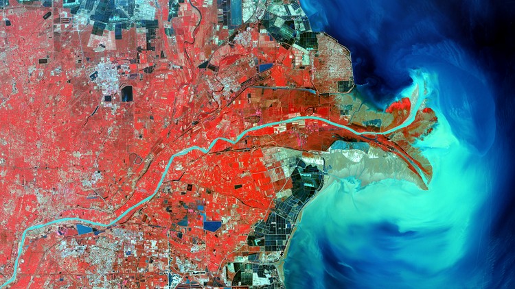
Complete Remote Sensing Image Analysis with ENVI Software
Learn basic to advanced remote sensing image processing, spatial analysis, and GIS techniques using ENVI software
4.59 (314 reviews)

2,190
students
7 hours
content
Nov 2020
last update
$49.99
regular price
What you will learn
Use ENVI software for a variety of image processing techniques
Understand basic tools in ENVI
Radiometric Calibration
Multiple Atmospheric Correction Techniques
Classification of Images
Downloading Satellite Data
Import and export images
Vegetation Indices
How to apply band ratios and algorithms to your image
Image Registration
Hyperspectral Data Analysis
GDAL and Basemaps
Mosaic images
Anomaly Detection
Pansharpen Satellite Images
Related Topics
1595040
udemy ID
3/13/2018
course created date
5/7/2020
course indexed date
Bot
course submited by