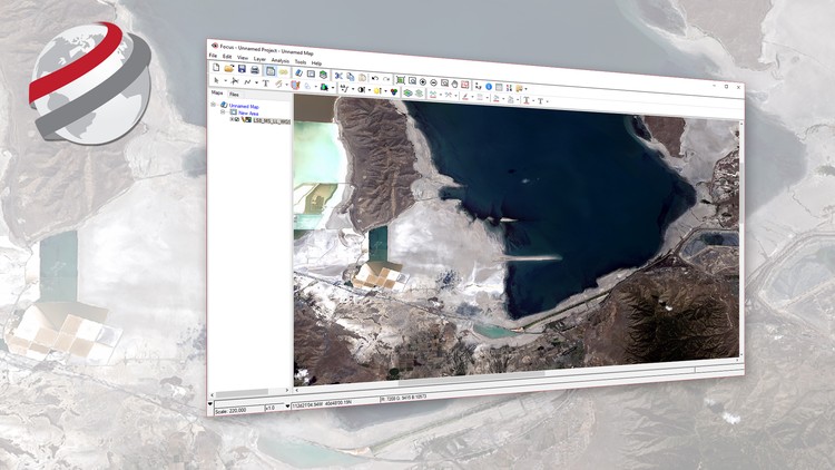
Basic Raster and Vector Operations with PCI Geomatics

Learn how to apply basic raster and vector operations to perform a number of common remote sensing tasks.

4.40 (214 reviews)
Udemy
platform
English
language
Other
category
Basic Raster and Vector Operations with PCI Geomatics
4,114
students
1 hour
content
Sep 2017
last update
FREE
regular price

What you will learn

How to manage data layers and reproject data

Apply image processing functions to generate new raster layers

How to use and create vector layers

Perform raster arithmetic to produce valuable new raster layers or information

Why take this course?

This course is offered by PCI Geomatics, using Geomatica Desktop Image Processing and Analysis Software

Overview: Are you a student learning remote sensing, or does your organization make use of satellite imagery to generate image products or extract valuable information for actionable information? This course will teach you how to manipulate your optical satellite imagery and generate information from that imagery.

Who is the intended audience? This course is intended for university students or professionals who are new to geographic information systems and remote sensing. After this short course you’ll be able to manage both vector data and satellite imagery, and generate new raster layers or information using professional image processing and analysis software. 

What materials will be used? Students will be able to work with a licensed version of Geomatica as well as sample data sets to follow along with the instructor. Students are expected to install Geomatica on their computer and work with a copy of the data which is provided.

How long will it take me to complete the course? The course materials (videos) run for a little less than an hour. You will likely play the videos several times and review certain steps. The expected time to complete the course is 2-3 hours.

Screenshots

Basic Raster and Vector Operations with PCI Geomatics - Screenshot_01Basic Raster and Vector Operations with PCI Geomatics - Screenshot_02Basic Raster and Vector Operations with PCI Geomatics - Screenshot_03Basic Raster and Vector Operations with PCI Geomatics - Screenshot_04

Reviews

Terry
April 15, 2019
Instructor knew the material very well, and how to comminucate as well, but, unfortunately, it seemed to me that he talked for too long and too much detail on the really simple points, then proceeded to talk waaaaay too fast without much detail at all once he got to anytime a mouse click or a text input was required. had to work through many of the steps a few times to get what was going wrong because it wasnt explained clearly.
SRIJON
October 8, 2018
It seems a good example of operational analysis of the layers. But, the presentation can be more smooth for the viewers if the operational process is shown in a zoom view or enlarged as they may look small for some participants.
Mamadou
October 20, 2017
Par ce que le cours a ete bien fait. je n'ai pas donne 5/5 par ce qu'il n a pas montre comment avoir le logiciel. merci

Charts

Price

Basic Raster and Vector Operations with PCI Geomatics - Price chart

Rating

Basic Raster and Vector Operations with PCI Geomatics - Ratings chart

Enrollment distribution

Basic Raster and Vector Operations with PCI Geomatics - Distribution chart

Related Topics

1337062
udemy ID
8/31/2017
course created date
12/18/2019
course indexed date
Bot
course submited by