Mapping and Spatial Analysis of Crime- Open Software Edition
From Zero to Intermediate Spatial Data Analyst

What you will learn
Develop proficiency in QGIS, GEODA, and SaTScan software.
Manage spatial data effectively; from geocoding/georeferencing data to creating/modifying attributes.
Geoprocessing tools such as clippling, spatial joins, raster calculations, zonal statistics, nearest neighbor analysis.
Vector and Raster datafiles; how to go from one to the other to suit your analysis needs.
A conceptual understanding of the statistical and geostatistical analysis used in spatial analysis.
Learn spatial exploratory spatial data analysis techniques.
Identify statistically significant spatial and space-time clusters of crime and related phenomena.
The latest QGIS plugins for data analysis, visualization and creating interactive maps.
Why take this course?
Geographic Information Systems (GIS) have emerged as an essential tool for crime analysts. This course will offer students an opportunity to gain skills in using GIS software to apply spatial analysis techniques to criminal justice and criminological research questions.
While this course focuses on the spatial analysis of crime, the tools and techniques learned in the course apply to public health, epidemiolocal, economic, and sociological phenomena.
The course will incorporate diverse learning activities including lectures that provide a conceptual understanding of the tools and techniques, as well as hands-on skills training in the form of labs. Lessons will focus on using QGIS software to make maps, manage spatial data, and conduct rigorous statistical analysis in the exploration of spatially derived research questions. The laboratory section of the course will give students the opportunity for hands-on learning on how to use GIS systems to analyze data and produce maps and reports. These laboratory exercises will be designed to increasingly challenge the students to incorporate the analytic skills and techniques they have learned during the course. Students can download the lab data and follow along. Importantly, I have lab instructions that students can download and use in the future.
Course Requirements:
GIS Software and Data This course relies heavily on QGIS, GeoDa, and SaTScan software.
o Download QGIS 3.16
o Download GeoDa 1.18
o Download SaTScan 9.6
Computer Access Students will need a personal computer or public computer where they can download the software and data.
Prerequisites This course assumes no previous experience in the use of geographic information systems (GIS) or statistics. The basic ability to use a desktop computer and Microsoft Office applications is required.
Reviews
Charts
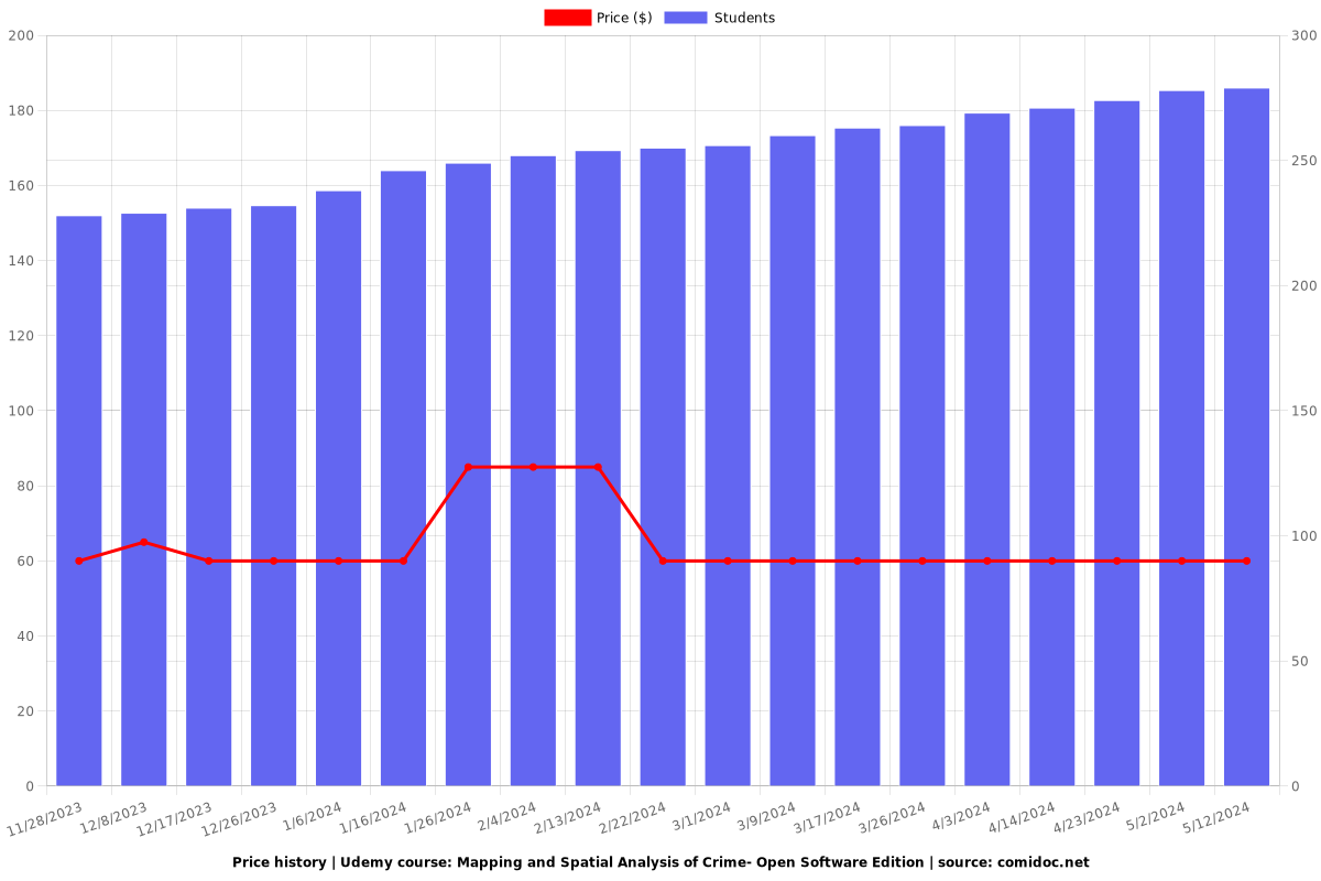
Price
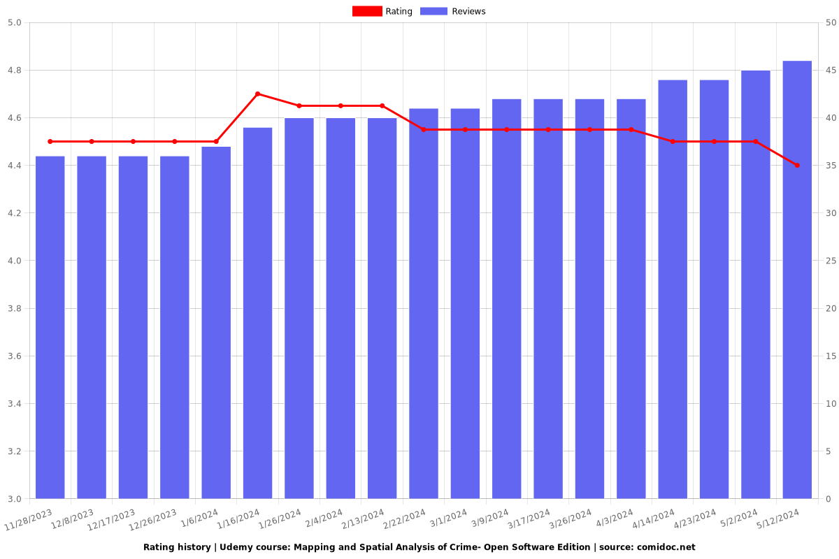
Rating
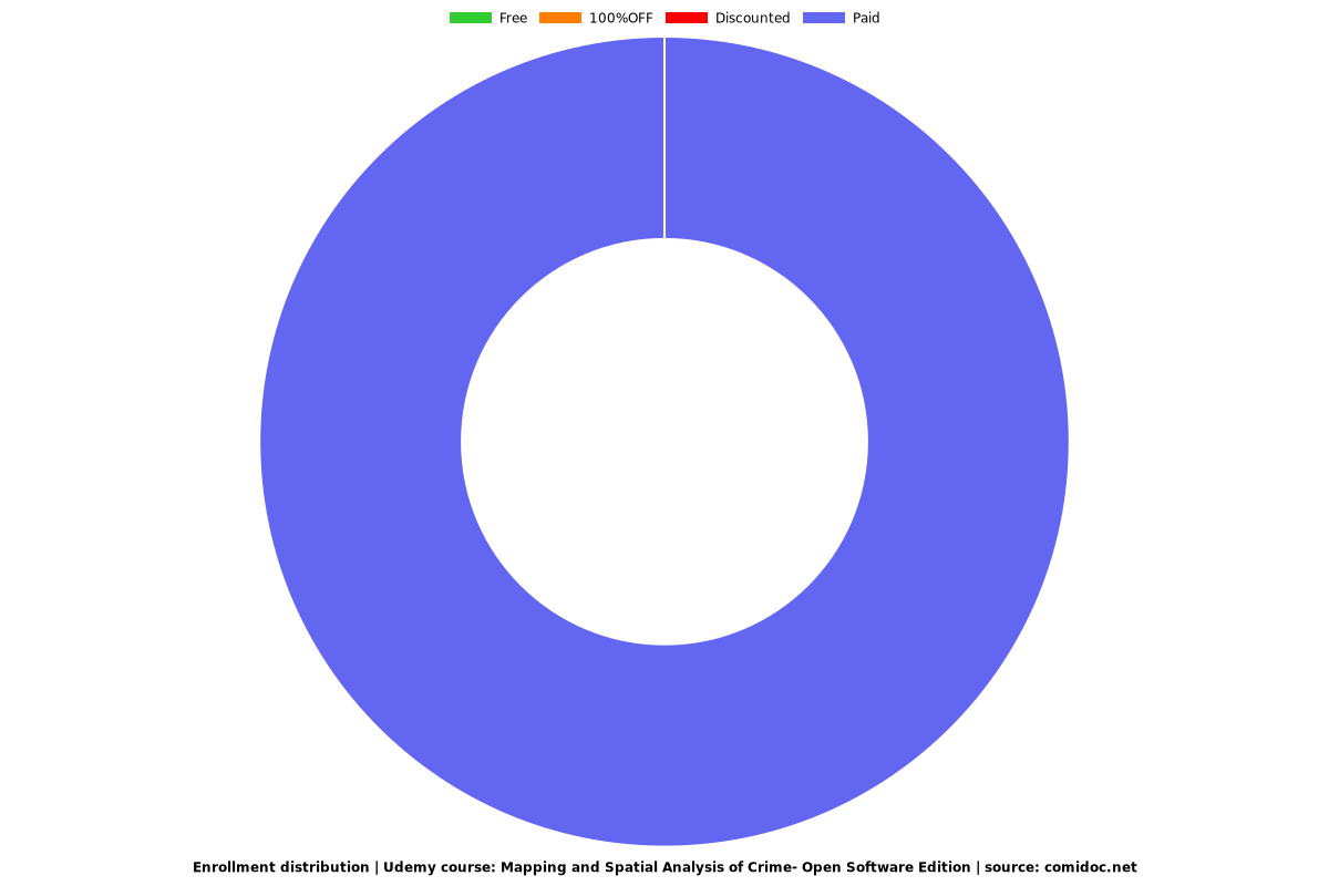
Enrollment distribution