GIS Essential Skills
Upper Intermediate GIS Course

What you will learn
Work with Geodatabases
Create joins and relationships
Design subtypes and domains
Manage geodatabase attachments
Apply advanced data edits
Work with Topology
Convert various data types
Utilize ArcGIS Model Builder
Create Geoprocessing iterations
Run batch processing
Apply different data cleaning methods
Analyze 2D & 3D data
Ensure results validity through quality control and quality assurance approaches
Enrich your reports with analysis results and statistical graphs
Share data in different formats
Why take this course?
This course is designed to fill the experience gap for trainees who seek to acquire GIS skills beyond the basics.
In each unit of this course, you will adopt a set of selected skills that will enhance your proficiency in GIS. Those chosen skills are essential for any GIS profession. Therefore, whether you intend to become a GIS analyst, developer…etc. you will need to be aware of the skill set delivered in this course.
This course provides a theoretical background along with practical examples to ensure you get the most out of the course. Moreover, you will face many challenges and exercises to enrich your experience.
تم تصميم هذه الدورة لسد فجوة الخبرة للمتدربين الذين يسعون لاكتساب مهارات في نظم المعلومات الجغرافية تتخطى الأساسيات.
في كل وحدة من وحدات هذه الدورة ستقوم باكتساب مجموعة من المهارات المختارة التي ستعزز كفاءتك في نظم المعلومات الجغرافية. هذه المهارات المختارة ضرورية لأي مجال في نظم المعلومات الجغرافية. لذلك سواء كنت تنوي أن تصبح محللاً، اختصاصياً أو حتى مطوراً فسوف تحتاج إلى أن تكون على دراية بمجموعة المهارات المقدمة في هذه الدورة.
تتطرق هذه الدورة التدريبية للمفاهيم النظرية إلى جانب الأمثلة العملية لضمان حصولك على أقصى استفادة. علاوة على ذلك، ستواجه العديد من التحديات والتمارين التي ستثري تجربتك.
Charts
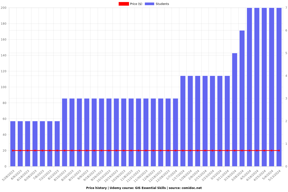
Price
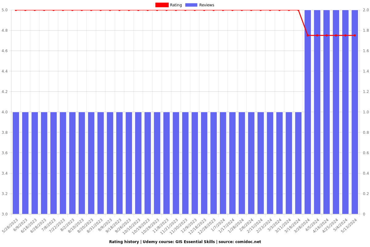
Rating
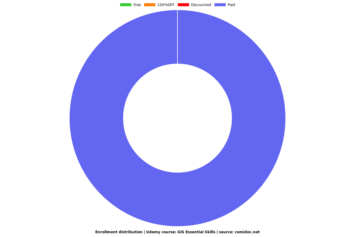
Enrollment distribution