Create your Basic Thesis Maps/ArcGIS/Step by step
How to create popular basic maps/ArcGIS

What you will learn
How to create main thesis maps for any of the study area
How to create analysis maps
How to print maps
How to prepare free datas for maps
Why take this course?
🌟 Course Headline: Master The Art of Basic Thesis Maps with ArcGIS 🗺️
How to Create Popular Basic Maps/ArcGIS
Hello dear friends, 👋
Welcome to my comprehensive ArcGIS Map Education Course! In just 3 hours, you will master the essentials of creating Basic Thesis maps in ArcGIS and gain the skills to tackle a wide range of tasks associated with geographic information systems (GIS). This course is meticulously structured into 3 sections, each focusing on different aspects of thesis map creation within ArcGIS.
Course Breakdown:
📏 Section 1: Downloading Free Datasets (Open Source GIS Datasets)
- OSM Data: Learn how to access and utilize Open Street Map datas for your maps.
- Country Boundary Datasets (Shapefile): Understand the process of downloading country boundary datas to define your study area.
- SRTM Data Preparation: Get hands-on experience with downloading and preparing SRTM data tailored for map creation.
🌄 Section 2: Physical Maps/Printing
- Elevation Map: Create a map that showcases the elevation of your study area.
- Hillshade Map: Generate a map displaying solar illumination effects on the terrain.
- Aspect Map: Visualize the slope orientation with an aspect map.
- Slope Map: Represent the steepness of the land as both degrees and percentages.
- Curvature Analysis Map: Analyze the curvature of the landscape for more detailed topographical understanding.
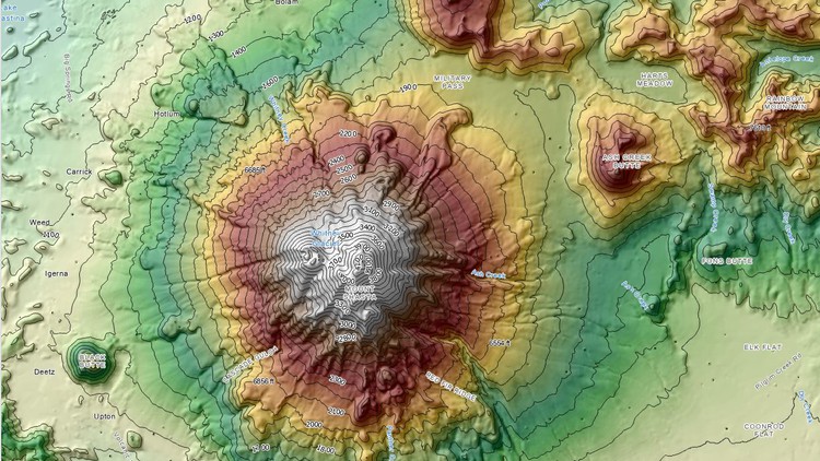
- Contour Map: Plot contours to illustrate elevation changes across the terrain.
- Hydrology/Watershed Analysis Map: Identify and analyze water bodies and their drainage areas.
- Topographical Map: Compile a comprehensive representation of both natural and man-made features of an area.
🌱 Section 3: Special Purpose Maps
- Landuse/Landcover (LULC) Analysis: Learn to download and utilize LULC datas from Esri, and create a map reflecting various land use types within your study area.
- Precipitation Data: Understand how to incorporate precipitation data into your maps.
- Soil Datasets: Discover the process of creating soil maps for any given study area.
- Geological Data Analysis: Learn to download geological data and create a detailed geology map.
- Landsat 8 Multispectral Image Processing: Gain skills in processing Landsat 8 images to analyze land conditions.
- NDVI (Normalized Difference Vegetation Index) Analysis Map: Create an NDVI analysis map to identify healthy vegetation areas within your study area, such as Kathmandu.
By the end of this course, you will not only have a solid understanding of how to create basic thesis maps in ArcGIS but also be equipped with the knowledge to apply these skills to your specific study area, whether it's the bustling city of Kathmandu or another location of your choice. 🌍
Join me on this journey through the world of GIS and emerge as a confident creator of detailed and meaningful maps! 🚀
Enroll now and take your first step towards becoming an ArcGIS mapping expert! 📚➡️🛣️
Screenshots


