Road Design with AutoCAD Civil 3D

Beginners & Intermediate users Tutorial with bonus corridor tutorials
4.30 (166 reviews)
Udemy
platform
English
language
Other
category
instructor
Road Design with AutoCAD Civil 3D
800
students
4 hours
content
Jan 2023
last update
$69.99
regular price

What you will learn

You will learn how to design a road with AutoCAD Civil 3D software.

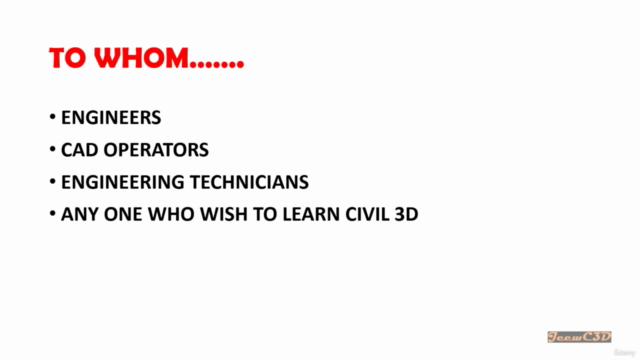
Both beginners and intermediate users can use this course get a clear understanding about road design with Civil 3D software.

Use simple learning method with good engineering insight

Why take this course?

NEW UPDATES

Basics of Swept path analysis with Autodesk Vehicle tracking

Sample Offsets and Offset Profiles in Civil 3D


In this course, you will learn how to design a road with AutoCAD Civil 3D software from the basics. We will be doing this as a tutorial project from start to end.

The software version we use is Autodesk Civil 3D 2020.

Any Civil 3D version newer than Civil 3D 2018 can be used to follow this course.


Before doing this course it would be an advantage if you have some insight into AutoCAD basics. This course is created more related to a Highway Engineering background. So the Engineers or Engineering students would find this very useful to start their career as a Highway Design Engineer.

The project objective is to connect a City to an Industrial zone with a two-lane two-way road with a design speed of 50km/h.

We will be using AASHTO 2011 design guidelines as the design reference when doing the designs.

The following list shows the aspects we are covering throughout this course.

1. Introduction - Road Design With AutoCAD Civil 3D

2. Understanding AutoCAD Civil 3D Interface

3. Understand Civil 3D Object Styles, Label styles, and Label Sets

4. Open New Drawing with Civil 3D

5. Import Points into Civil 3D

6. Set External Reference for AutoCAD drawings

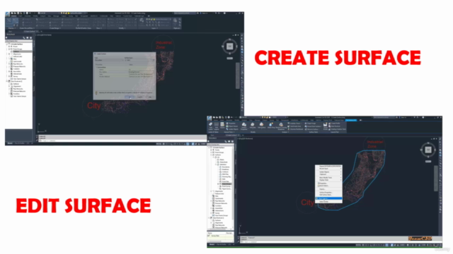
7. Create Surface from Points

8. Add Surface Boundary to Civil 3D Surface

9. Add Breaklines to Surface to Civil 3D Surface

10. Export Civil 3D Surface to LandXML

11. Open New Civil 3D Template drawing and Import LandXML Surface into Civil 3D

12. Create Alignment in Civil 3D

13. Create Road Layout in drawing

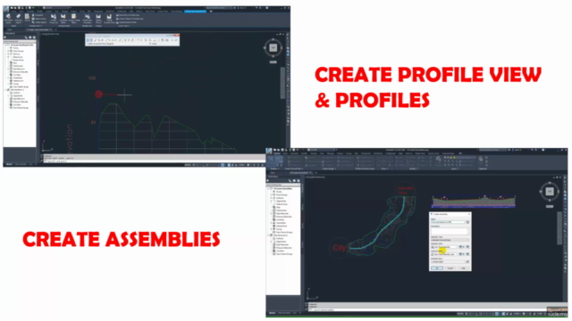
14. Create Surface Profile and Profile View

15. Add Superelevation to Alignment

16. Create Final Road Profile

17. Set the data bands for Profile View

18. Create Assemblies

19. Create Corridor

20. Target Mapping

21. Split Corridor

22. Create Corridor Surfaces

23. Create Sample Lines and Section Views

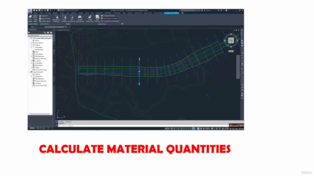
24. Calculate Material Quantities


Content

Introduction to the Course

Introduction - Road Design With AutoCAD Civil 3D

Understanding Civil 3D interface, object styles, Label styles & label sets

Understanding AutoCAD Civil 3D Interface
Understanding Civil 3D Object Styles, Label Styles & Label Sets

Road Design With Civil 3D Tutorials Series

Open New Drawing
Import Point
Set External Reference
Create Surface
Add Surface Boundary
Add Breaklines to Surface
Export Surface to LandXML
Open New Template & Import LandXML Surface
Create Alignment
Create Road Layout
Create Surface Profile & Profile View
Add Superelevation to Alignment
Create Final Road Profile
Set the data bands for Profile View
Create Assemblies
Create Corridor
Target Mapping
Split Corridor
Create Corridor Surfaces
Create Sample Lines and Section Views
Calculate Material Quantities

Project Data & Exercise Files

Exercise Files

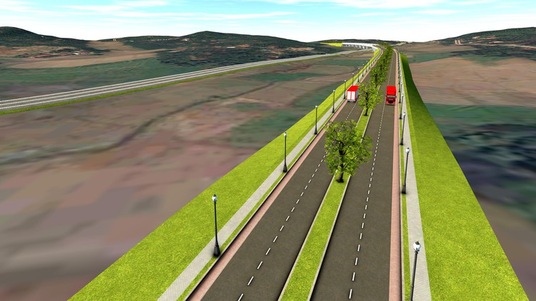
Screenshots

Road Design with AutoCAD Civil 3D - Screenshot_01Road Design with AutoCAD Civil 3D - Screenshot_02Road Design with AutoCAD Civil 3D - Screenshot_03Road Design with AutoCAD Civil 3D - Screenshot_04

Reviews

Joshua
March 9, 2023
It has being a revelation for me. Getting to actually know how to use Civil 3D after so many years of trying to learn this software from other tutorials.
Pascal
January 20, 2023
I am very disappointed, I can't barely understand what the instructor is saying. It just doesn't motivate me to carry on with this course anymore.
Nedson
August 2, 2022
It has been an eye opener. I will definitely enroll for another Civil 3D course with Udemy again...Please slow down your explanations so that we capture the lectures
Keth
April 26, 2022
The gentleman presenting the course is to quite and/or monitone voive makes him hard to hear. Everything is turned up. I have taken another Udemy course, with a monitone speaker and he was almost perfectly legible. This class just is not coming in loud enough
Zoila
February 2, 2022
Great course! Specific and quickly for learning concepts and tools about Civil 3D. Thank you from Ecuador.
Willings
January 25, 2022
The course has opened my eyes on so many levels and has left me intrigued to explore more about Civil 3D. Excellent delivery. Is it possible that you can do a similar course on Site grading?
Theodhoraq
January 17, 2022
Maybe It would much better if the narrator of the video learned how pronounce the words better and you should correct the subtitles. There were a lot of mistakes.
Engr.Emmanuel
January 12, 2022
It was a most mind blowing lectures on this course, his lecture was good and it's explanation was very straight forward
Georgiana
June 14, 2021
I really like this course. Ițve had an older version of civil 3d and when i left a message i got a very quick response and help. I want to exercise more to become to manege civil 3d easly. Thank you.
Param
March 21, 2021
Very Good Method of teaching...if u share calulation of PV point elevation value it help us in profile creation
Vincent
March 3, 2021
Very exciting to take your new course after your course Work with Civil 3D Alignments. Your course is easy to follow to learn.I can step by step to learn.

Charts

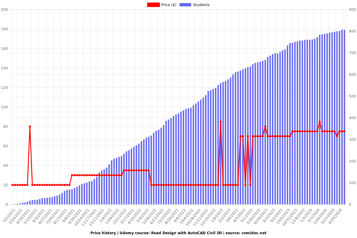
Price

Road Design with AutoCAD Civil 3D - Price chart

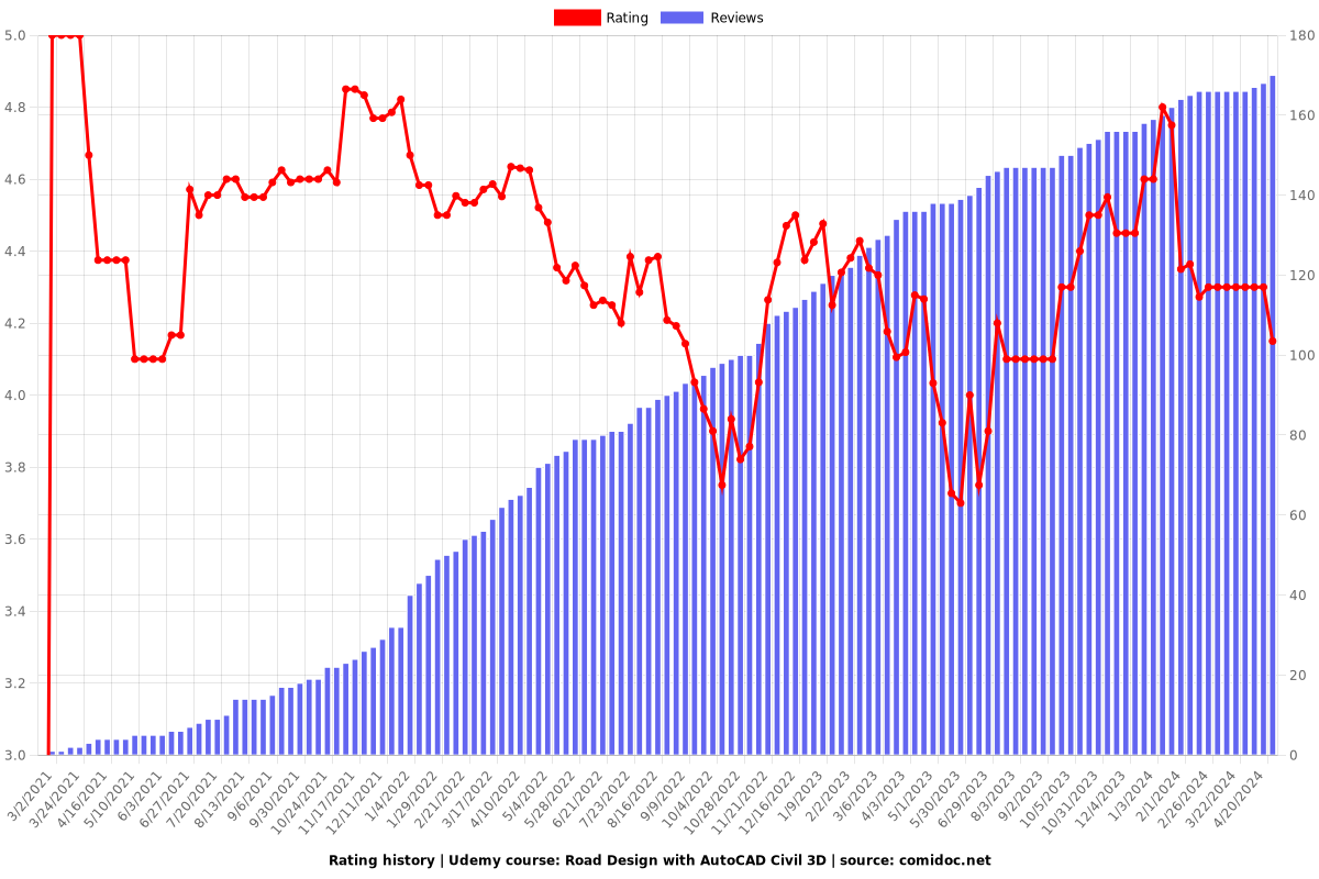
Rating

Road Design with AutoCAD Civil 3D - Ratings chart

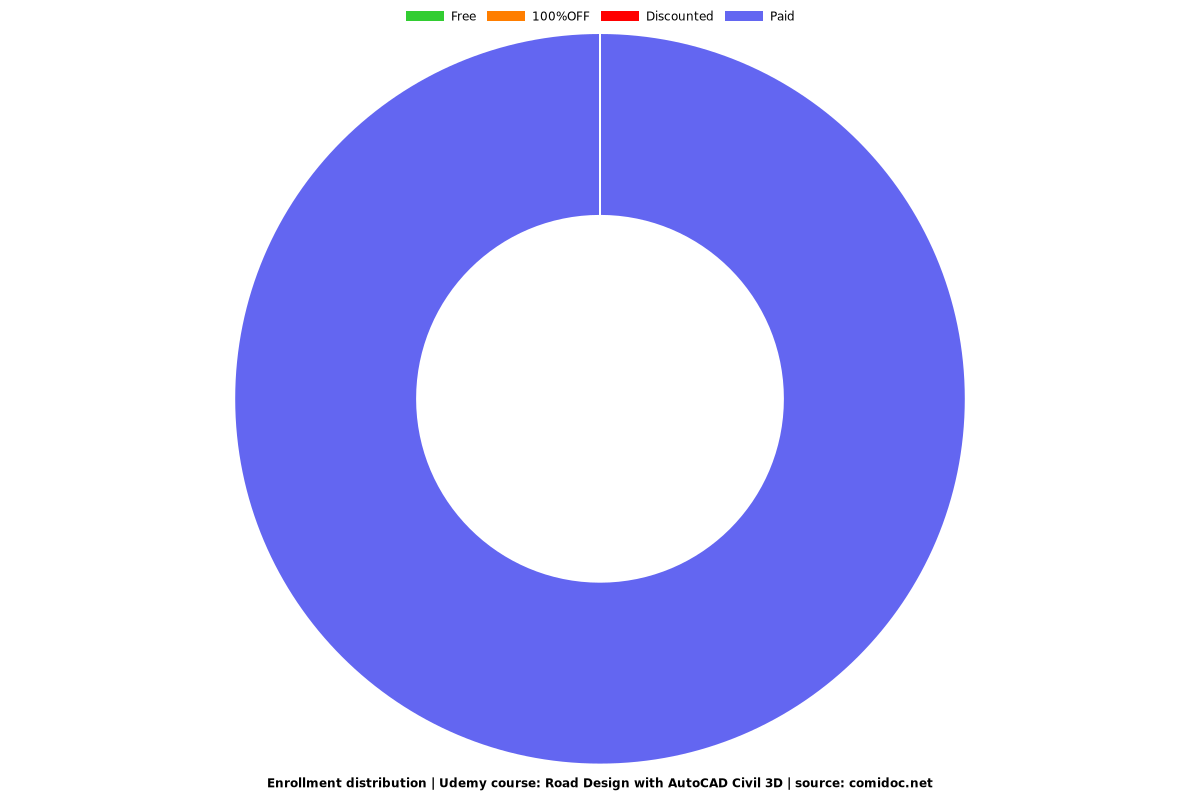
Enrollment distribution

Road Design with AutoCAD Civil 3D - Distribution chart

Related Topics

3870300
udemy ID
2/23/2021
course created date
3/2/2021
course indexed date
Bot
course submited by