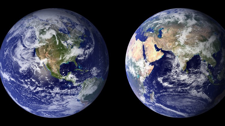
Remote Sensing for everyone

Understand the essentials of Remote Sensing, Image preprocessing and Image Classification

4.25 (2 reviews)
Udemy
platform
English
language
Online Education
category
instructor
Remote Sensing for everyone
32
students
8 hours
content
Jan 2023
last update
$19.99
regular price

What you will learn

Study a short history of remote sensing

Find out what is remote sensing

Discover the types of remote sensing sensors and what they observe

Learn about areal photography

Discover satellite images

Discuss digital Images

Get started with an introduction to raster data

An introduction to 3D Data and models

Start learning about ortho-photos

Explain image classification

Discuss pre-processing

Describe image processing

Why take this course?

Are you looking to gain a basic understanding of Remote Sensing and its wide-ranging applications? Look no further than this Udemy introductory course. With no prior GIS or Geographic knowledge required, you'll learn fundamental principles and concepts that will help you analyze data and make informed decisions. From basic meanings and geographic concepts to sensor and platform types, you'll gain the knowledge needed to select the right image products for your research needs. Plus, with a range of processes and methods available, you'll be able to choose just the right data and information for your project. This course is the perfect starting point for anyone looking to get to know the basics of Remote Sensing and GIS concepts.


For whom is this Course

This course is designed for beginners interested in GIS, Geospatial Science, Remote Sensing, Photogrammetry, and GIS Programming.


Software

I will not be recommending any specific Geospatial/GIS/Remote Sensing/Photogrammetry software as there are many options available in the market. Your choice of software should depend on your ultimate goal, project, or research. You may have to use different software options over time. Remember, there is no one perfect software solution; only the most suitable option for your current requirements.

Screenshots

Remote Sensing for everyone - Screenshot_01Remote Sensing for everyone - Screenshot_02Remote Sensing for everyone - Screenshot_03Remote Sensing for everyone - Screenshot_04

Charts

Price

Remote Sensing for everyone - Price chart

Rating

Remote Sensing for everyone - Ratings chart

Enrollment distribution

Remote Sensing for everyone - Distribution chart
3847396
udemy ID
2/14/2021
course created date
10/10/2021
course indexed date
Bot
course submited by