GIS Modeling with R
R PROGRAMMING APPLICATION IN DATA VISUALIZATION AND GIS
4.57 (7 reviews)

50
students
1.5 hours
content
Dec 2024
last update
$19.99
regular price
What you will learn
This course is designed for statistical computing, data visualization and GIS. Students use it for Elementary Data Analysis, and data mining to graphing.
R is an advanced free programming language that performs various complex statistical analyses and modelling.
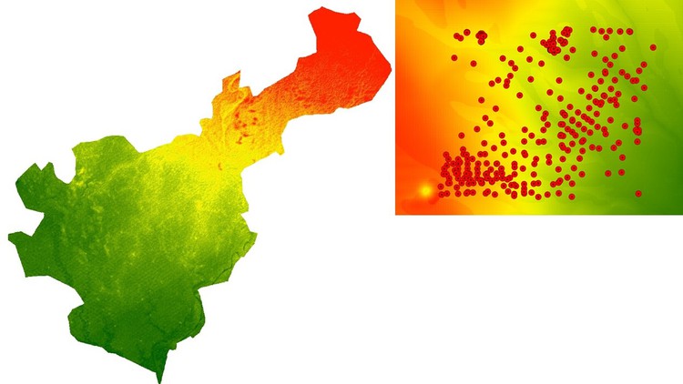
R in GIS is growing because of its enhanced capabilities for data visualization and you will do practice on real data set.
You will learn about the extensive libraries for to generate high-quality graphs and visuals.
Screenshots


5607588
udemy ID
10/13/2023
course created date
1/6/2024
course indexed date
Bot
course submited by