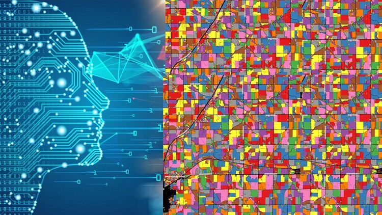
Machine Learning in GIS : Understand the Theory and Practice
Apply machine learning in Geographic information systems and Remote Sensing in QGIS and Google Earth Engine
4.26 (295 reviews)

10,826
students
6.5 hours
content
Nov 2024
last update
$49.99
regular price
What you will learn
Fully understand the basics of Machine Learning
Get an introduction to Geographic Information Systems (GIS), geodata types and GIS applications
Fully understand basics of Remote Sensing
Learn open source GIS and Remote Sensing software tools (QGIS, Google Earth Engine and others)
Fully understand the main types of Machine Learning and their applications in GIS
Learn about supervise and unsupervise learning and their applications in GIS
Learn how to apply supervised and unsupervised Machine Learning algorithms in QGIS and Google Earth Engine
Understand what is segmentation, object-based image analysis (OBIA) and predictive modeling in GIS
Learn how to perform image segmentation with Orfeo Toolbox
Understand the main developments in the field of Artificial Intelligence, deep learning and machine learning as applied to GIS
Screenshots


Related Topics
2915328
udemy ID
3/26/2020
course created date
3/31/2020
course indexed date
Bot
course submited by