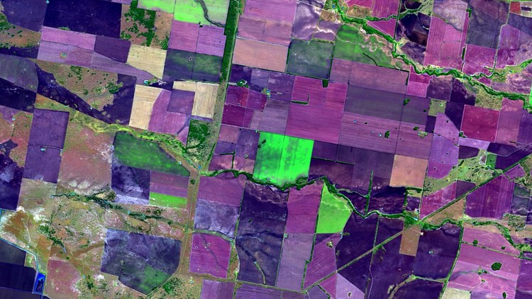
Remote Sensing in QGIS: Basics of Satellite Image Analysis
Become proficient in applied Remote Sensing in QGIS & spatial analysis / project analysis & fundamental concepts in QGIS
4.34 (288 reviews)

2,905
students
5 hours
content
Nov 2024
last update
$64.99
regular price
What you will learn
Acquire a thorough understanding of satellite remote sensing principles
Learn how to apply satellite remote sensing principles in practice
Learn the most popular open-source GIS and Remote Sensing software tools (QGIS) and Semi-automated classification (SCP) plugin
Create your first GIS maps for your reports/presentations in QGIS
Learn how to obtain satellite data, apply Remote Sensing image preprocessing, create training and validation data in QGIS
Learn abouit open source Remote Sensing software tools and data portals
Apply Land use and Land Cover (LULC) Mapping and Change Detection in QGIS
Learn how to plan and practise to implement your first geospatial project based on Remote Sensing data
You'll have a copy of the practicals step-by-step manuals used in the course for your reference to use for your Remote Sensing analysis in QGIS
You'll also have plenty of handy hints and tips during this course for QGIS and Remote Sensing analysis
Screenshots


Related Topics
3171038
udemy ID
5/26/2020
course created date
6/4/2020
course indexed date
Lee Jia Cheng
course submited by