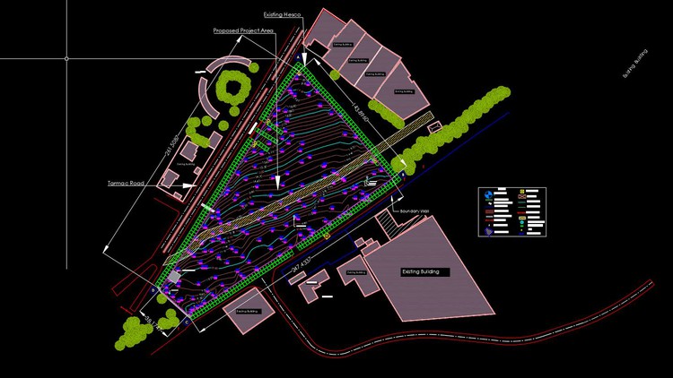
AutoCAD Civil 3D Topographic and Boundary Survey
A Complete course for beginners an advance Professional Level
4.76 (216 reviews)

1,535
students
5 hours
content
Nov 2023
last update
$74.99
regular price
What you will learn
Topographic and Boundary Survey Drawings Prepartion
Equipment Databases, Figure Prefix Databases, Linework Code Sets
Setting Survey Databases,
Field to Finish
Detailed Filed Data Explaintion
Creating TIN Surfaces
Translating Survey
Balancing Traverse
Productiviy Tips and Tricks
Introduction to Parcels
Introduction to Points
Topographic Data, Field Data, Field Codes
How to Install Survey database support files
Measuring tools in AutoDesk Civil 3D
Screenshots


5592734
udemy ID
10/4/2023
course created date
10/17/2023
course indexed date
Bot
course submited by